How Seaside Walks Evolved from Shore Paths to Promenades
Trace how seaside walks developed from practical shore paths into promenades, and learn to distinguish older routes, Victorian-era designs and later changes.
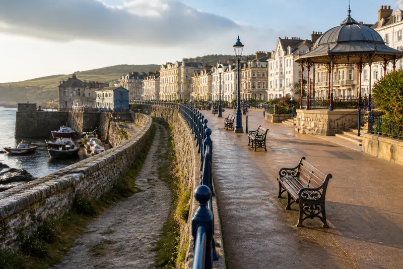
Seaside walks began as useful routes along the water before many became planned promenades for leisure. Their history is easier to read when you follow the changes in purpose: access and defense came before the polished public walk, and later repairs altered both the route and its users.
What came before the seaside promenade?
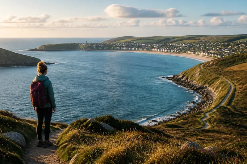
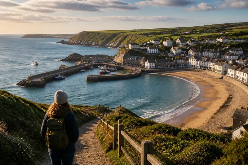
Before seaside tourism became a major reason to visit the coast, shore paths served practical needs. People used tracks to reach beaches, move between settlements, access fishing grounds, or pass along the landward side of defenses. The path might be uneven, narrow, and shaped by the terrain rather than by a plan for visitors.
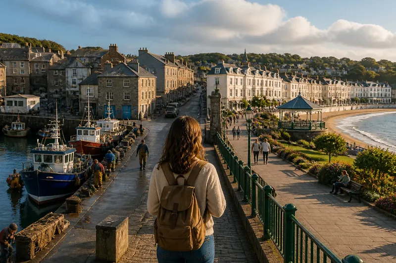
In some places, an existing road or path beside a harbor or sea wall later became part of a public walk. The route’s bends and constraints can preserve that earlier use. A promenade that hugs a wall, skirts a working harbor, or meets the town at an irregular angle may have inherited its alignment from practical access. Such clues suggest a sequence; they do not date a path by themselves.
How did seaside towns turn paths into promenades?
As coastal visits grew fashionable, towns began shaping the waterfront for leisure as well as passage. In the Georgian and Victorian periods, planned walks and promenades offered visitors a place to stroll, take the air, and see and be seen without going onto the beach. Local authorities and developers could widen routes, add railings, and create formal approaches linking hotels, resorts, piers, and gardens.
The promenade was not a single invention with one standard design. Some towns adapted existing edges; others developed more deliberate waterfront schemes. Seawalls could protect land while providing a level walking surface. Seating, shelters, bandstands, and lighting made a route more inviting for lingering, though these features were added at different times and do not by themselves establish a date.
Imagine a visitor in a fictional resort finding a narrow path beside an old harbor wall, then a broader paved stretch with benches and a bandstand. Following the route, the visitor notes that the newer section aligns with a hotel frontage while the older path bends around the harbor. The reasonable reading is that a practical shore route was later extended or redesigned for leisure; the exact sequence would still need confirmation from local records or an interpretation panel.
What changed when seaside walking became organized leisure?
A promenade made walking itself part of the visit. Unlike a beach, it offered a defined route that stayed above the sand and usually kept users apart from the water. Its layout could also display civic ambition: a broad, orderly walk presented the resort as comfortable and well managed.
Promenading had social rules as well as physical ones. Visitors could walk at an unhurried pace, pause at a shelter, or join a public event near a bandstand. The route made leisure visible, but it was also ordinary infrastructure for people moving through town. That mix of display and daily use is one reason promenades do not fit neatly into a single historical category.
How did engineering and transport reshape the coast walk?
Rail travel helped bring more visitors within reach of many seaside resorts, while later roads and motor traffic changed how people arrived and moved around. Waterfront improvements responded to those pressures in different ways. A new sea wall might protect buildings and carry a walking route; a widened road could separate walkers from the water; a rebuilt pier entrance could redirect foot traffic.
Coastal defenses and repairs also changed the line of the shore walk. Erosion, storms, and maintenance can lead to rebuilt walls, replaced paving, or altered access. A neat modern surface may cover an older route, while a new barrier can preserve the path but change how closely it meets the sea. Read the current design as one layer in a longer history, not as a faithful record of the first walk.
What clues help date a seaside walk?
Use several observations together, then check them against local history. Each clue should lead to a cautious decision rather than a confident date.
- Observe the route alignment: if it bends around a harbor, wall, or older building, treat inherited access as a possibility; if it runs in a deliberate straight line, consider planned development, then check a historic map before assigning a period.
- Observe changes in paving: if materials shift at a clear boundary, consider a repair or extension; if the surface continues evenly, do not assume the whole route is the same age, and look for another clue.
- Observe the sea wall: if the walking surface sits on a raised defense, consider whether the route followed later coastal engineering; if no wall is present, examine the inland edge and local records instead.
- Observe access points: if steps or gates connect the walk to a beach or harbor, note whether they appear integrated or added later; if their sequence is unclear, compare the route with a local map or information board.
- Observe structures such as shelters or bandstands: if they sit within a formal open space, consider a planned leisure function; if they stand beside a working route, allow for mixed uses and seek a dated local account.
- Observe the relationship to town streets: if the walk connects directly to ordinary streets and local facilities, read it as potentially serving residents as well as visitors; if it is isolated from them, check whether resort development or later construction explains the separation.
For a useful comparison, consult a current street map, a historic map displayed by the local museum, and any council heritage information available on site. Differences between maps can reveal a changed shoreline or an extension, though old maps may simplify details and should be read alongside the physical route.
Which questions help explain a seaside walk?
Why did towns build promenades?
Promenades provided a defined place for leisure walking and helped shape the visitor experience of a resort. They could also connect beaches, piers, gardens, and town streets.
Did every promenade begin as a leisure route?
No. Some followed older paths, roads, or defensive edges, while others were planned more deliberately for visitors. The route’s shape offers clues, but local maps and records are needed to confirm its history.
What does a seawall tell you about a promenade?
It shows that protection from the sea has influenced the waterfront, but it does not by itself reveal when the walking route was created. Look for changes in wall height, access, and paving, then compare those details with local information.
How can I check a promenade’s history while visiting?
Look for heritage signs, museum displays, and historic maps that identify earlier roads, defenses, or extensions. Note one visible feature, such as a bend or old entrance, and see whether a local source explains it.
How should you read a promenade today?
Begin with the route’s oldest-looking constraints: bends, narrow passages, abrupt changes in level, or entrances that do not match the current layout. Then look for later additions, including broad terraces, formal seating areas, and rebuilt seawalls. The contrast can suggest how a practical edge became a place designed for leisure and public access.
For the history of the seaside walk, the most useful question is not simply how old the paving looks, but what the route was built to connect at each stage. A harbor path, a resort promenade, and a repaired sea wall may occupy the same strip of coast. One feature checked against a local map can often clarify which layer you are looking at.